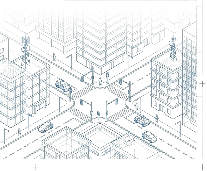
Sensors over the corridor.
Aerial UAV sweeps, mobile-mapping vehicles, and terrestrial stations co-register into a single coordinate frame. The site is re-read as XYZ, not as drawings.
- AerialUAV · LiDAR
- MobileVehicle SLAM
- GroundTotal station
Gromatica.AI is the visual operating system for the built environment. We turn aerial scans, mobile mapping, and ground-survey capture into living digital twins of bridges, railways, sites, and cities — measurable, segmented, and ready for engineering work.
Infrastructure is no longer poured — it is scanned, segmented, and simulated. The Gromatica stack lifts raw capture into a reasoning surface engineers can interrogate: layer by layer, with provenance preserved at every step.
Aerial UAV sweeps, mobile-mapping vehicles, and terrestrial stations co-register into a single coordinate frame. The site is re-read as XYZ, not as drawings.
Semantic segmentation isolates piers, decks, rails, slabs. The mesh becomes structural, not just geometric — every element labelled, dimensioned, and queryable.
The result is a living model with an exception register and on-demand briefings — usable in the field, in the office, and at the table where the structural decisions are made.
Each scan resolves into discrete, named elements — piers, spans, ballast, rolling stock, vegetation, utilities. The twin is not a picture of the asset; it is a measurable description of it.
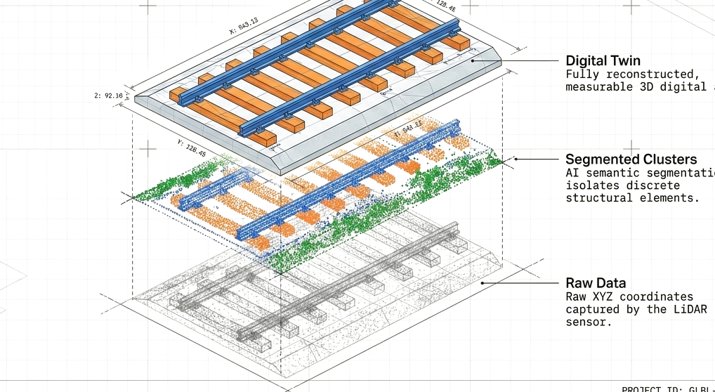
Raw XYZ coordinates collected by LiDAR and photogrammetry, co-registered to a single survey frame.
Neural classifiers split the cloud into discrete structural classes — rail, sleeper, pier, deck, vegetation.
Segmented clusters lift into a measurable mesh / BIM model, dimensioned and queryable element-by-element.
Deviations from design tolerance surface automatically into a tracked, time-stamped register of work.
The twin is queryable in plain language — engineers ask, the model answers, with figures and citations.
Gromatica is a engineering-first platform. The interfaces, the data model, and the voice of the product are all shaped by the discipline of structural reporting.
Every assertion is a measurement. The twin never claims; it cites the coordinate, the timestamp, and the sensor that read it.
Raw capture is not discarded. The chain from XYZ to segmented cluster to structural element is auditable end to end.
The twin runs in a browser. Surveyors, structural engineers, and operators share one frame — no plugin, no proprietary viewer.